NOAA Sees a Historically Strong El Niño, With More and Stronger Typhoons for Japan
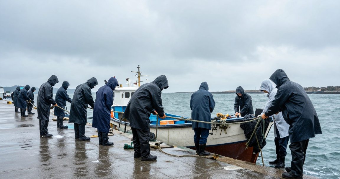
- NOAA sees a high probability of a historically strong El Niño this autumn and winter
- Experts say typhoon formation near Japan could increase
- Typhoon intensity may also rise
The US National Oceanic and Atmospheric Administration said on August 13 that there is a high probability of an El Niño reaching historic levels from this autumn into winter, with experts warning Japan could see more typhoons and stronger ones. This is not only a Japanese weather story — Taiwan sits further up the same track.
The mechanism in plain terms: El Niño is an unusually warm state of the equatorial Pacific that reorganises atmospheric circulation, changing where typhoons form, the paths they take and how much energy they absorb. "More and stronger" is a condition of the whole northwestern Pacific, and storms reaching Japan usually pass near Taiwan first.
Three groups should act on it. Travellers heading to Japan in autumn should price in cancellations and delays, making flexible booking terms worth paying for. Anyone importing, exporting or running e-commerce should pull forward stock and delivery dates, since typhoon-season disruption concentrates at a few logistics nodes. Anyone holding property or a storefront in Japan should review insurance now — flood and wind cover are not automatically included in Japanese fire policies.
Investors get an early signal too: typhoon severity shows up in agricultural prices, insurance claims and quarterly results for parts of retail and transport, usually noticed only when earnings land.
Watch sea-surface temperature updates, the Japan Meteorological Agency's own seasonal outlook, and whether your schedule overlaps the peak.